On the far side of Mitchell Hill, across the Bullitt County line, there is a small creek called Sugartree Run. It lies in the former Samuels property, nearly 300 acres held by that family for eight generations — as far back, according to one descendant, as the land grants of the 1800s. It was farmed until 1984, when Walter Samuels, a diabetic, lost his eyesight. Since then, the forest has steadily grown back.
The parcel, purchased in 2005 for $1.14 million, is now part of the Jefferson Memorial Forest, the totality of which lies in the geologic region known as The Knobs. There are no trails in the Samuels purchase, though this small creek parallels Knob Creek Road, and there are a few pullouts from which to see it.
I located the creek, initially, on my laminated foldout map of the forest. One afternoon, curious, I drove with my daughter to the creek. I figured the water was close enough to the pavement that we could get some access. We drove south, past the turn for Tom Wallace Lake and the forest’s Welcome Center. At the top of the hill, we turned at a small cemetery and a cell tower, and then we started down along Sugartree Run. The road, once we crossed the county line, was freshly paved. I watched for pullouts. I settled on a small gravel bench, a gabion wall bound tight by canvas pinned with plastic posts above the creek’s edge — a recent job, from the looks of it. I backed into the head of an old access road, not noticing at first glance the barrier gate a few yards in the woods nearly invisible in the undergrowth.
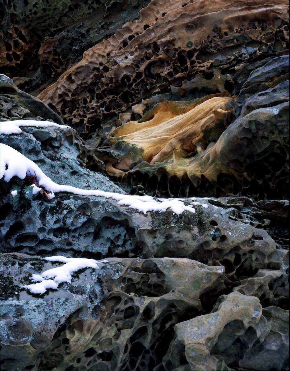
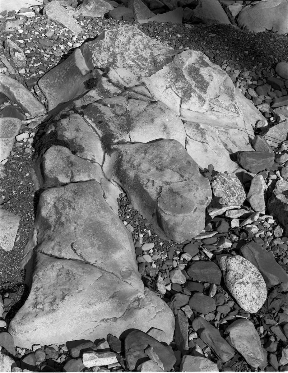
We stood on the crushed gravel at the shoulder, watching the schools of minnow. I pointed out the beds of New Albany shale, rock dating back to the Devonian, that the water had worn down to smoothed ripples of iron-colored rock. The creekbed and the banks were littered with a variety of stones. I could see, even from a distance, the conglomerates packed with crinoid fossils. We climbed down the retaining wall, leaped over the water — it was only a few inches deep at most points — and picked among the stones.
Among the shards of broken glass, we found bits of chert, clastic rock, numerous limestones. I showed my daughter how wetted clumps of mudstone could be molded like clay. She sat at the creekside and played with that while I walked upstream, ducking under fallen trees still in leaf.
In the water, bricks and cinderblocks were eroding slowly. Like any other creek I’d seen across the country, this one bore the wastes that early settlers left in it. There were several large iron culverts, big enough to crawl into, and a slab of concrete on the bank, perhaps an old bridgehead for a wooden deck now long gone. At the end of the access road — I could see the parked car from here — was a ring of stone around a mess of burned limbs, aluminum cans, glass bottles. In the water, my daughter found a tiny salamander, black, no more than two inches, which disappeared under a rock. We watched a larval crane fly wriggling in the water. Bits of crayfish lay about the beds — food, no doubt, for raccoons.
Cars passed on the road, and though they were no more than 10 yards away they seemed to travel at a distance, the lives of the drivers at such a remove that they seemed to be travelers from another time. It occurs to me now, that everything I saw that afternoon — every tree, every insect, even the litter — was, in fact, just such a traveler. It was all passing through. What was most enduring in the scene before us was not the meandering stream, whose course changed by the moment, and which in time would alter more, but what lay beneath it: the bedrock. The geology of hundreds of millions of years upon which everything we know in our lives either roots down or rests upon. And in either case, impermanently.
I study the geology of the region not as a scientist, or even a student, but as an amateur. What I ask of the discipline is more than understanding, more than an additional nomenclature with which I might comprehend the character of the land. The fossiliferous rock interests me, naturally, as well as the form and texture of the various layers, but what fascinates me deeply is how the rock shifts my perspective.
In the Bernheim Research Forest, walking upstream from the mouth of Slate Run where it empties over a bed of Beechwood Limestone dating to the middle Devonian period, I moved over compressed beds of New Albany Shale, younger, dating to the upper Devonian. The hills about the stream are entirely composed of thin pages of this shale, eroding out from under tree roots as dark gray chips. Along the banks are bits of limestone and fossils of crinoids washed down from a long lost plateau, and I realize that I am walking beneath what was once an immense sea and, later, a river delta.
Where I am standing was once under water and hundreds of feet of stone, hidden. Hundreds of millions of years later, the mud, lithified, again sees the light. In such an expanse of time, I am no different from the water striders skating across the pools of water. Dwarfed to such proportions, this geology spanning millions of years puts my life into an appropriate perspective and asks me, in relation to such an enormous history, what I might do with this life in my tiny, allotted time.
In the summer of 2020, I wrote an email to Alan Goldstein, an interpretive naturalist at the Falls of the Ohio State Park. I asked him about rocks I would find in such creek beds. He readily agreed with some of my assessments — I had correctly identified the cherts and quartzes that weather out of limestone and lie in the water — and went on to describe ironstone nodules, often red on the exterior, heavy, dense. I’d seen them. He told me that what I thought was a grainy sandstone was actually siltstone, a common capstone in the Knobs.
Online, I found a study published by the Department of the Interior, Geomorphology and Quaternary Geology of the Glaciated Ohio River Valley. In the library, I found a more accessible book by local author Barbara Conkin, “Why Are the Highlands High?” I’d long known the basic rock of the area — sandstone, limestone, shale — but I did not know much about its age, how it interbedded, nor the periods it was formed in. I began to study rock outcrops in earnest. I took note of several outcrops that Conkin detailed — and she drew on a number of experts for her descriptions — and examined them. I began my own field work, as it were. The dominant rock in the city of Louisville is, of course, limestone, though even then this rock is far from homogenous. There are numerous beds of limestone, differing in age by millions of years.
Along Poplar Level Road, between the playing fields of Saint Xavier High School and the Norton Audubon Hospital, the roadbed dips into a hollow where a creek — so far as I know, unnamed — flows under the four-lane highway. The creek emerges from George Rogers Clark Park, meandering roughly northeast toward the South Fork of Beargrass Creek. For the most part, traffic hurries by, and one would never suspect such a stream existed; this is, after all, a main arterial, Kentucky Highway 864, connecting Eastern Parkway and the Germantown neighborhood with the Watterson Expressway. The waterway is too small to register.
The road, originally a turnpike built of poplar planks not long after the Civil War, is today largely a series of apartment complexes, gas stations and chain restaurants around what was known as Mulberry Hill, property largely belonging to the Clark family, some of whom are buried in the park. Driving this stretch, in your haste, you might find little to light your attention on. One could without a doubt cynically comment on the unimaginative development or else ignore it entirely. One could regard the urban nature of the landscape — particularly the McDonald’s, the car wash, the CVS drug store — as unexceptional, mundane.
Passing by the park, however, there is a momentary break in the manmade structures as one drops into the hollow and passes the rows of trees lining the park to the west of the shoulder. Traveling it frequently, you may notice the pullouts where cars are often parked, marked for sale. You may also have noticed, directly across from the park, jutting from the grass slope beneath the hospital’s parking lot, a substantial outcrop of rocks. I have always taken notice of them. One summer, I decided to look closer.
I parked beside the tennis courts of Clark Park, in the gravel pullout, and walked back along Thurston Avenue toward Poplar Level. I crossed at the light then walked south along the road, the roar of cars filling the air, noticing details I’d otherwise missed driving a car: the weeds along the guardrails — Japanese honeysuckle, for one — and the number of birds in the bramble, robins especially. I noticed all the trash along the edge of the sidewalk. In the distance, I could see the Calvary Cemetery, the spire of Saint Agnes.
I would invite you to go there. When you come upon the rocks, they might seem at first unremarkable. But looking closer — and you would unavoidably encounter the trash strewn among the rocks, too — you would begin to discern the fossils of corals.
What you are looking at are two distinct layers of limestone. The underlying, thicker rock is what is known as Louisville Limestone, and it is overlaid with a crumbly layer of Jeffersonville Limestone. Both were formed in the Paleozoic Era, when terrestrial life was only beginning. The lower rock is, of course, the oldest of the two, dating to the Middle Silurian period. It contains many fossils and, frequently, chert. It is well older than 400 million years. The upper layer of limestone is from the Middle Devonian period, which ended over 350 million years ago. Fish began to appear during this period. In both cases, these rocks — along with regional shale and dolomite — were formed in shallow prehistoric seas long drained. All the exposed rock of Jefferson County dates to roughly between 450 and 320 million years ago. Older than the dinosaurs.
They are, as the geologist James Hutton said in the eighteenth century, “The ruins of an older world.”
Standing just about anywhere in Jefferson County, Kentucky, the rock beneath your feet is more than a mile thick. Paleozoic sedimentary rock, in the ecoregion of the Interior Low Plateau, and even more precisely, the Lexington Plain — what we generally know as the Kentucky Bluegrass. In Louisville we are, in fact, at the extreme of this physiographic region, the edge of which is the Pennyroyal Plateau, specifically the escarpment of Muldraugh Hill. Karst topography is common, meaning sinkholes, caves and streams that appear to be swallowed by the ground, only to reemerge elsewhere downstream.
Standing in front of my house, in the southern portion of Germantown, I am in a kind of borderland between what we know as the Highlands — where outcrops of limestone become much more pronounced, whether along creeks or in roadcuts and the remains of old quarries — and the Ohio River floodplain, a bed of glacial outwash. The age of the earth directly below me is relatively recent, of the Quaternary age, which extends from 2.5 million years ago to today. Underfoot is a lithology of silt, sand, gravel — all that was left by the glaciers that melted to the north. Downtown is undergirded by this loose earth, as well. So is Shively, West Louisville, Valley Station.
On the sidewalk before my house, I am standing at 476 feet above sea level. When I turn and look southeast along Lydia Street, a very gradual slope signifies the beginning of the Springdale Anticline which, along with the other side, the Lyndon Syncline, is a kind of ripple of the Cincinnati Arch, a massive warping of the earth atop which sits Lexington, the Inner Bluegrass, the watershed of the Kentucky River. As such, the rock formations of our county are actually tilting westward toward the Ohio River. Because of this tilt, the exposed rock at the Falls of the Ohio — riddled with fossils of rugose and horn coral, brachiopods, and trilobites — is the same formation as rocks at the top of Cochran Hill in Cherokee Park.
It is easy, traveling by car, to not sense this tilting bedrock, which trends roughly northeast to southwest, aside from a sense that one is at times traveling up or downhill. The slope is subtle; for example, were you to begin at Hurstbourne Lane and travel west on Shelbyville Road, by the time you reached the Watterson Expressway, a distance of only three miles, you would have fallen nearly one hundred feet in elevation. You would notice, too, that every creek flows away from the ridge of this anticline — Wolf Pen, Goose Creek, each fork of Beargrass Creek — toward the Ohio River. On the far eastern side, all the creeks flow toward Floyd’s Fork and the Salt River drainage.
There are seeming anomalies, though they make sense given the tilt. The peaks of the Knobs, the monadnocks that make up Iroquois Park, Kenwood Hill and the Jefferson Memorial Forest, are composed of far younger rock: Mississippian limestone, the youngest of which would be close to 320 million years old, topped with siltstone and, in rare cases, sandstone. These hills are heavily eroded, steepened by the easily-weathered shale that underlies the limestone. This accounts for why one can find fossils along the ridges, the tiny rings of crinoids lying along trails. Fossils of marine life, essentially, in the sky. And the siltstone is the compacted silt of a long extinct river delta.
Knowing this, sensing this history, one understands that, standing on a ridgeline overlooking the valley of the Ohio River, and the enormous city built there, surrounded by a forest of hardwoods and wildflowers, that one is standing on a seabed lifted hundreds of feet into the air and, simultaneously, at the bottom of something akin to the Mississippi Delta long gone dry. What’s more, one understands that given another billion years of weathering, that the ridge one stands on will be brought low, erased, and that something else will take its place. That the chert atop Flint Knob will ultimately come to rest in the Gulf of Mexico.
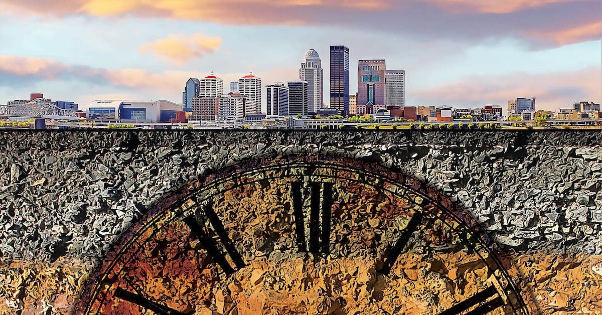
Where we are is a kind of ark that has drifted from the equator, where the warmth of those shallow seas offered refuge to the corals, the trilobites. A sea shallow enough at points that one could have walked to Utah in water no higher than your waist. One can begin to understand, too, that the city that lies before you will inevitably become a part of the fossil record, crushed to perhaps the width of a cigarette paper.
One may ask at this point, what is the value of knowing this? Why study rock?
I am aware that the rock of Jefferson County lacks the grandeur of Yosemite’s granite, or Utah’s sandstone arches, let alone those of the Red River Gorge. Our rock is not as dramatic as the basalt flows that meet the Pacific Ocean, or the tilted marble of Death Valley, the uplifted Rocky Mountains. The beds of limestone here, interspersed with brittle clay shales, seem flat by comparison.
But I have come to find that one can look at the rocks at one’s feet in much the same way as one looks to a clear night sky far from city lights. In both cases, one can touch the infinite. A sky unmarred by city lights allows one to negotiate a distance that empties the mind. To look down and hold the fossil of a horn coral in the palm, to hold the perfect shell of a brachiopod between one’s fingertips, is to go in the same direction of time. The fossil — and the rock its shape is preserved in — is as distant from us in time as the light traveling from the stars.
Near the top of Holsclaw Hill, just below the entrance to the Horine Reservation, there is a ledge of Harrodsburg Limestone, of the Brodhead formation, from the Lower Mississippian period. Though Holsclaw Hill is among the highest elevations in the county, at 900 feet above sea level, you come to understand that what you are seeing — what you, in fact, can touch — is a seabed. Were you to drive east into the valley of Floyd’s Fork, climbing down into the water-carved hollows, you would encounter even older rock from the Ordovician period, the oldest in the county, yet another older seabed. Fairmont Falls slips over a lip of Brassfield Limestone capping a thick bed of Saluda Dolomite — more seabed. The cliffs of Cherokee Park, the quarry walls throughout the county, the rock shelves along Beargrass Creek where it flows behind the Oxmoor Center: all seabed. What lived in those seas left their prints embedded in the mud now turned to bedrock.
And beneath the rocks we typically see lies even older rocks — the Liberty, Waynesville, and Arnheim Formations — that extend into the Precambrian Era. Their ages extend into billions of years.
As John McPhee noted in his colossal “Annals of the Former World,” a book that brings poetry to geology, a geologist loves a good roadcut. In Louisville, there are frequent roadcuts, as well as quarries. One can easily see in our buildings and stone fences how much Louisville has made of the rock.
One such quarry sits beneath Cave Hill Cemetery, at the corner of Grinstead Drive and Cherokee Parkway. An excavation in the Louisville Limestone and, at the top, the Jeffersonville formation. Up Lexington Road, to the east, across Beargrass Creek and up Cochran Hill, more outcrops along the roadway, overgrown with English ivy. And just on the other side of the interstate is a prominent cliff, and at its top there sits a house on Cross Hill Road.
There is no sidewalk along the offramp that runs below this cliff. But I walked one summer along the edge of the road, the grass vanishing as the strip between the asphalt and the guardrail narrowed. I stepped over the guardrail and into the patch of woods at the base of the rock wall. Directly above me, on the bluff, sits the expensive house with an expansive view — one easily sees it from the interstate. But beneath it, I found a tent, a small camp tucked back in the trees.
Many of us have seen the homeless men standing at the end of this ramp, holding cardboard signs, perhaps a pack stashed beside the post of a road sign. We can notice, if we are careful, the food packaging and the bottles of water left there. Atop the cliff, as if hung in the air, the established house suggests comfort. Beneath it, the primitive camp suggests a hardscrabble existence. And in between, the colossal bedrock of history, silent and resolute. Countless seabeds stacked like pages in a novel in a language we barely understand. It frames us, our small lives, and offers us a perspective to address what is important.
I turned and walked out of the wood. Someone must own this small plot, though I don’t know. I only know I had no right to be there. I felt like an intruder.
Before I turned away, I laid my hand to the rock. It towered above me, above the tent, above the interstate. What was it I was looking for? More importantly, what had I found?
There are obvious, scientific reasons to study the rock record. One can begin to understand the processes of the earth, for one. The earth begins to seem more of a living being, growing, changing, always in movement. There is no solidity, no permanence. No peace. There are practical matters, too, the geologist considers: The drainage of the soil in relation to the bedrock indicates what might be grown on a parcel of land, what could reasonably be built upon it. What minerals industry might find there. Those, of course, are human concerns.
What I return to is the afternoon, the infinitesimal hour, of kneeling beside a creek on the eastward slope of the Knobs, kneeling in gravels worn down by millions of years of weather. I recall the recognition of shale — its name, its approximate age — as readily as I recognize my daughter, myself. I realize, and attempt to hold, what lays before us in stark contrast: that the body of rock beneath us dwarfs us. In durability, in history, it is like standing beside the Grand Canyon. We are like the salamander disappearing beneath it.
But every tree, each bit of broken glass, my daughter and I, and the homeless men sleeping beneath the columns of rock — we will all disappear. What the rock says, I think, is this: Pay attention. Act while you have the ability. Our time on earth is brief.

