City dwellers looking for things to do in nature need look no further than our Louisville hiking guide. Here are some of our favorite hiking trails, walking trails, and scenic vistas in the region.
26 Beatiful Hiking Trails Near Louisville Where You Can Enjoy The Outdoors
By LEO Weekly Staff on Tue, Mar 26, 2024 at 6:11 pm
Kentuckiana is lush with outdoor activities. Kentucky alone is home to more than 2,000 native species of plants and 19,400 native species of animals, so the best hikes in and near Louisville are as invigorating as they are inspiring.
Scroll down to view images
Page 1 of 2
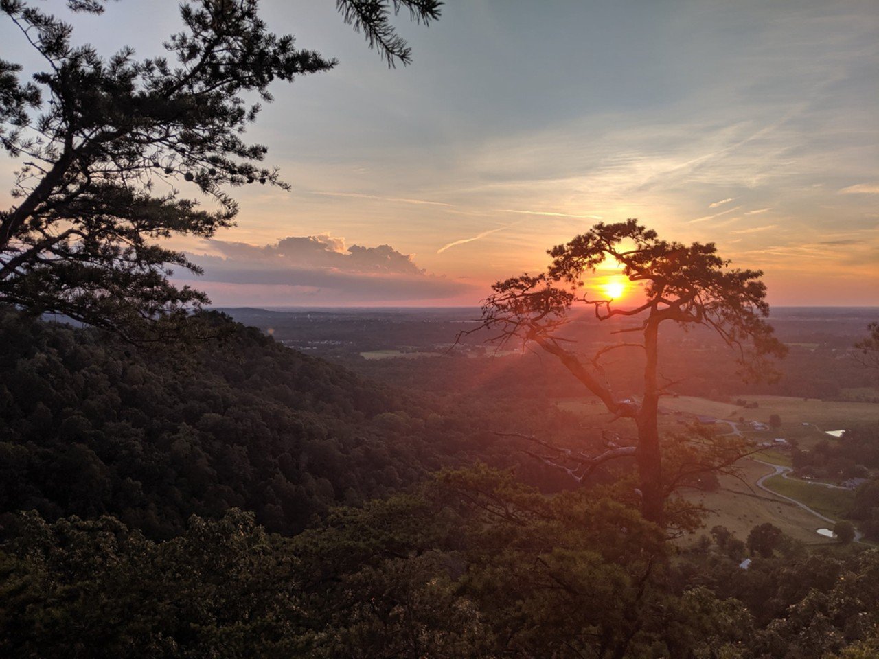
Berea College Forestry Outreach Center
The Pinnacles
2047 Big Hill Road, Berea, KYHiker/YouTuber Mike Bucayu recommends this series of trails, several of which have peaks with stunning views. Outside Magazine listed The Pinnacles in the article "The Best Hike in Every State" in 2019.
1 of 26
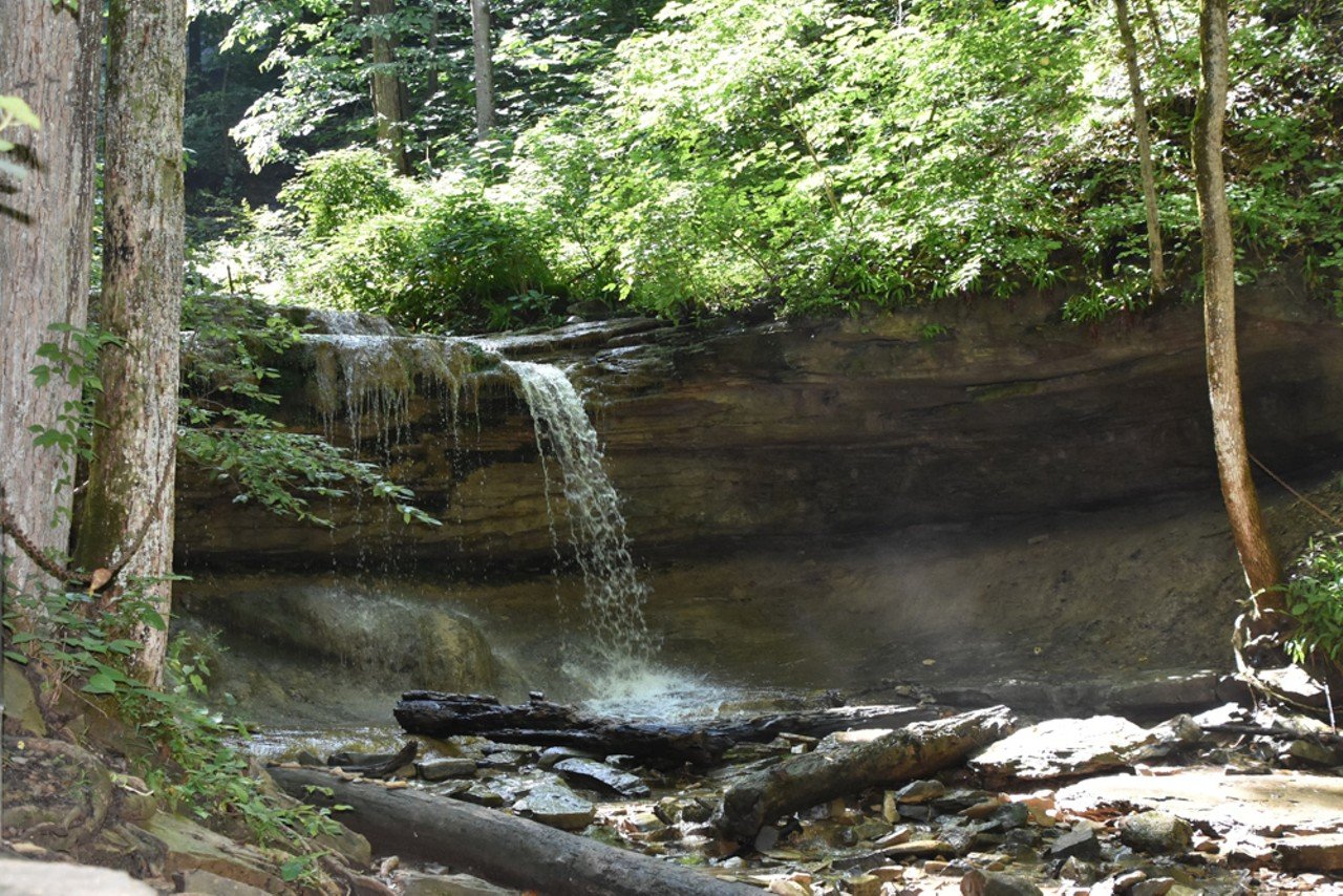
Radcliff Tourism
Tioga Falls Trail
Louisville Nashville Turnpike, West Point, KYTioga Falls is a 1.9-mile, out-and-back trail that features a majestic series of waterfalls. The trail runs parallel to an active railroad track (stay off the track!) and passes the remnants of a 19th-century house before you reach the falls. The falls are about 130 feet high.
2 of 26
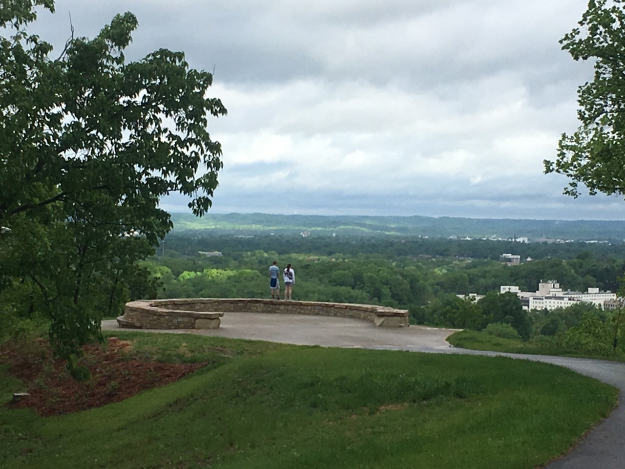
Louisville Parks and Recreation
Iroquois Park Overlook
5216 New Cut Rd.You can see the Louisville skyline from the peak of this trail, the North Overlook, after a 1.2-mile hike.
3 of 26
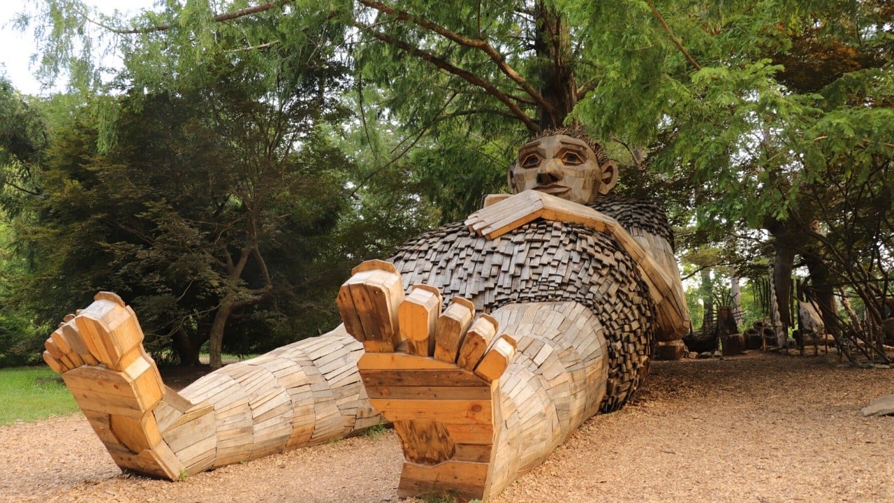
Bernheim Arboretum and Research Forest
Forest Giants Trail
Bernheim Arboretum and Research ForestThe Forest Giants trail at a two-mile out and back trail (one mile each way) that leads from the Visitor Center to all three of the Forest Giants in a Giant Forest. Although the first section mostly paved along the Olmsted Ponds, the trail crosses the Big Prairie and ends on a trail across rougher terrain. Note that some sections of this trail are exposed to full sunlight and hikers with accessibility challenges should allow extra time.
4 of 26
Danielle Grady
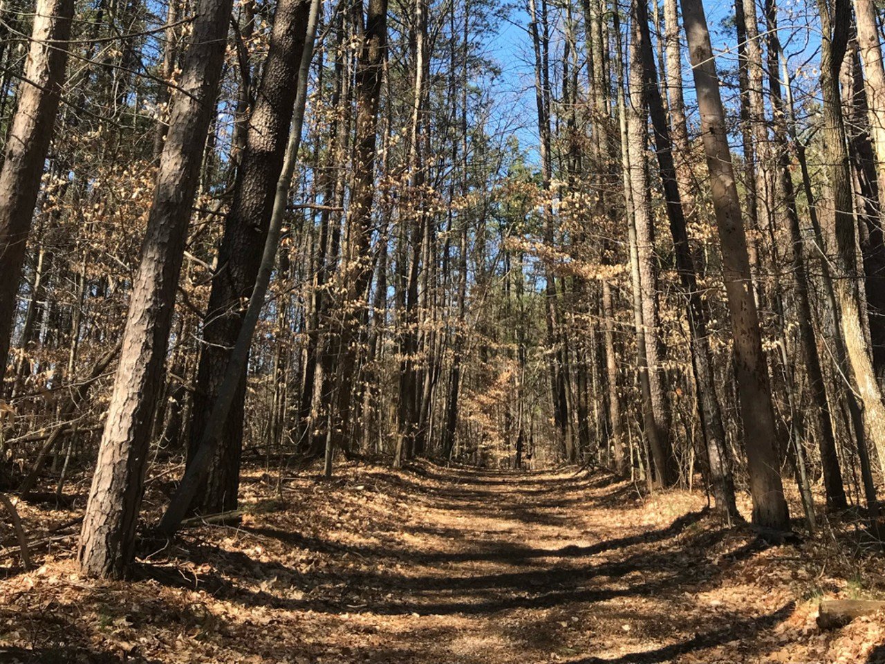
Jefferson Memorial Forest Red Trail
11311 Mitchell Hill Rd.Jefferson Memorial Forest is one of Louisville Metro Parks' farthest south outposts, and it feels more like a mini state park than a typical city getaway (which makes sense because it's technically an urban forest). For a hike that will get your heart pumping, take the 5.8-mile Red Trail, where you'll find a diversity of plants, animals, and geological features.
5 of 26

The Parklands of Floyds Fork
The Parklands of Floyds Fork
Beckley Creek Pkwy.The Parklands of Floyds Fork opened to the public in 2010 and has since been cultivated into a hidden gem less than a 30-minute drive from downtown Louisville. Although it offers good hiking year round, it’s especially beautiful when the sunflower meadows are in bloom.
6 of 26
Alex Riley
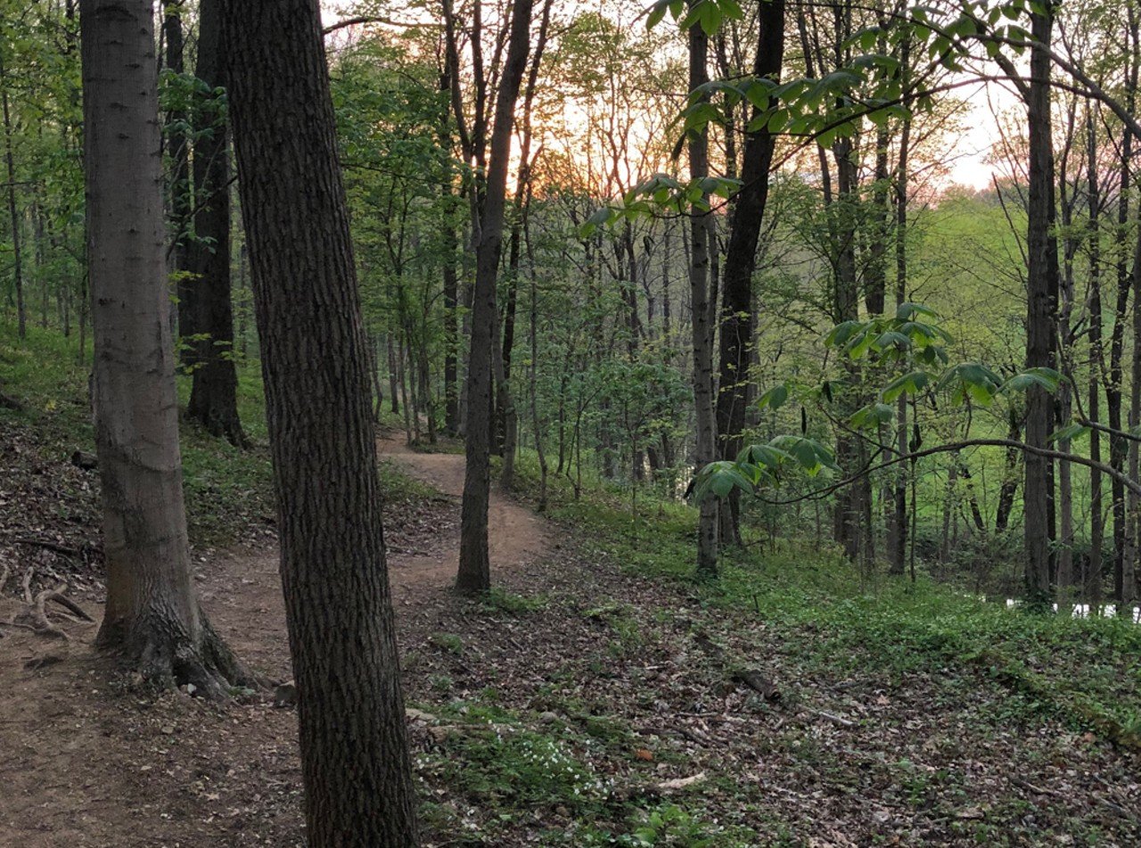
Cherokee Park Trail
745 Cochran Hill Rd.Cherokee Park has a trail that winds throughout the whole space. One particularly pretty spot (in the springtime) is just off of the Frisbee Field parking lot. You'll know the best spot immediately once you've reached it, but just in case: look for the broad expanse of golden flowers between thin white trees. It honestly looks like it comes straight out of a painting and makes for gorgeous photos. That trail is thin at points and has a slightly steep start, but it's worth it.
7 of 26
Clifty Falls State Park
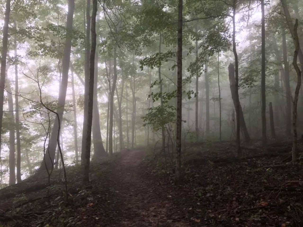
Clifty Falls State Park Trail 8 and Trail 2
2221 Clifty Dr., Madison, INClifty Falls Trails 8 and 2 combine to make a loop, and like the Clifty Falls State Park Loop, this trail also has a large elevation change of about 862 feet. That's because this trail will actually take you down into the canyon. While you're there, be sure to explore the Clifty Creek's stony bed, which, according to the state park's website, is "littered with fossil remnants telling of a long-vanished marine ecosystem that teemed with life that included ancient corals, ancestral squids, brachiopods and more." Just be sure to leave the fossils where you found them because fossil collecting within the park is prohibited.
8 of 26
Carolyn Brown
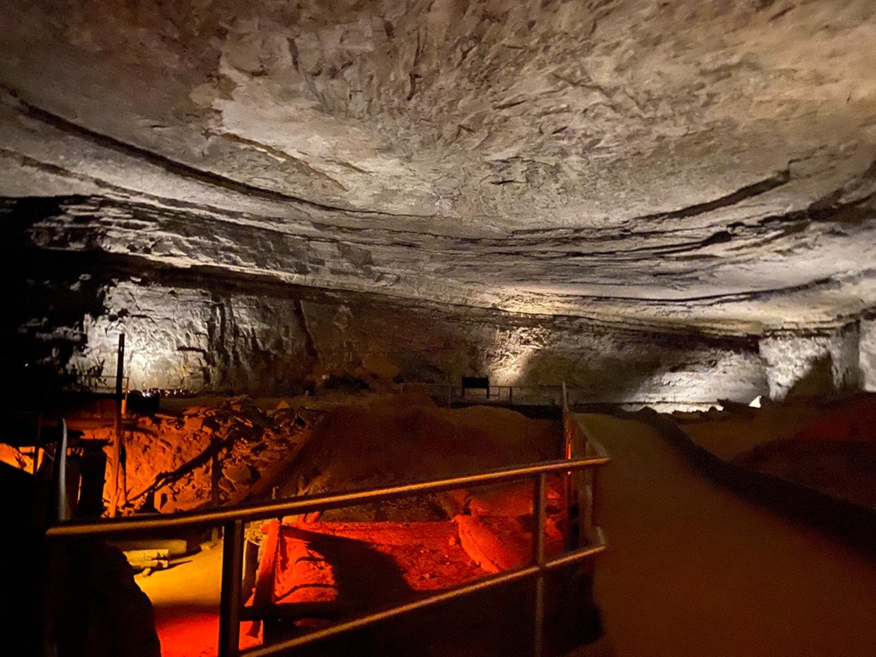
Mammoth Cave
1 Mammoth Cave ParkwayNot exactly the typical hike because, well, it's underground, but Mammoth Cave is a cool Kentucky landmark — literally and figuratively — where you can learn a lot about natural history and experience the world's longest known cave system. (Note: there is a STEEP set of many steps at the Historic Entrance. Check out this page to learn more about how to access Mammoth Cave if you have mobility issues or other accessibility needs.
9 of 26
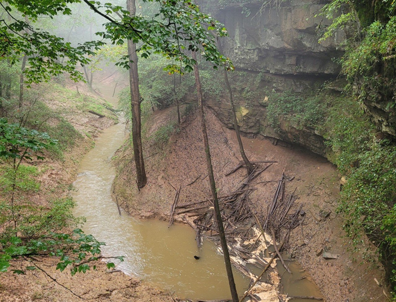
Mammoth Cave
Cedar Sink Trail
1 Mammoth Cave ParkwayIf you're looking for a legit hiking trail at Mammoth Cave, this one's for you. It's known for its stairs, which some park guests report makes for a challenging but solid workout, as well as the large sinkhole that hikers see during their visit.
10 of 26

West Sixth Farm
West Sixth Farm Loop
4495 Shadrick Ferry Rd., Frankfort, KYThere are beautiful trails at the family-friendly, dog-friendly West Sixth Farm, an outdoor taproom surrounded by 120 acres of space to hike, bike and run. You migt already know the bar's name from its outpost in NuLu, but this rural getaway makes for a great escape from the noise of the city. Bring your own food for a pre- or post-hike picnic. West Sixth also offers a hiking club if you prefer your walks non-solo.
11 of 26
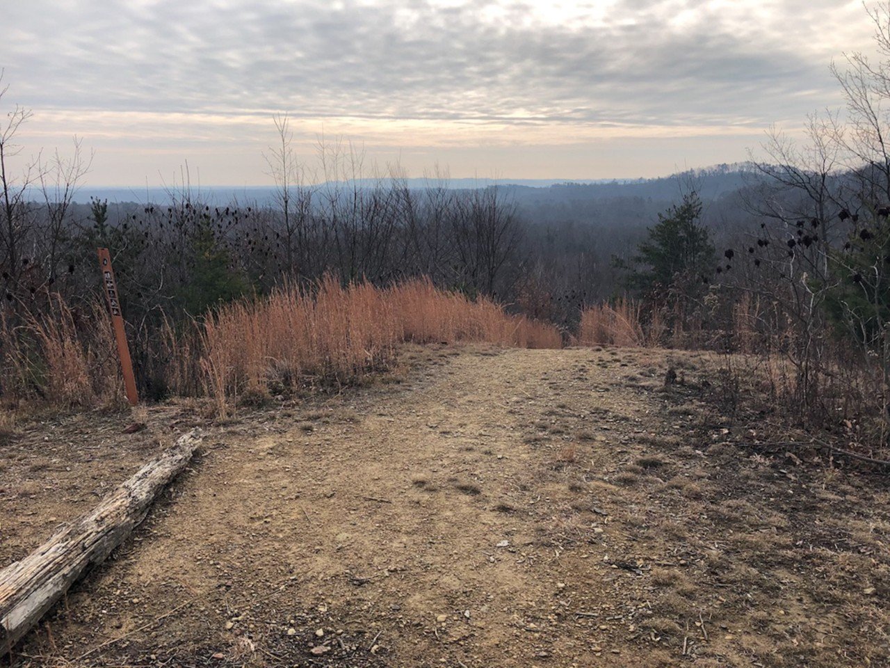
Alex Riley
Knobstone Trail
4621 Hilltop Rd., Henryville, INThe Knobstone Trail is sometimes referred to as "The Little AT" because of its length. The 60-mile trek winds through the hills of Southern Indiana, starting in Clark County at Deam Lake and ending in Washington, County. Only the fittest hikers could manage to almost hike the trail in one day, so for most of us, section hiking is the way to do it. There are several entry points throughout the route, but for a short hike with good views, the Knobstone Hiking Trail Association recommends starting at the Jackson Road Trailhead in Henryville, hiking to Mile Marker 7, then a little bit farther to loop around on a level forest path back to your start. Or just keep going and make it a day hike.
12 of 26
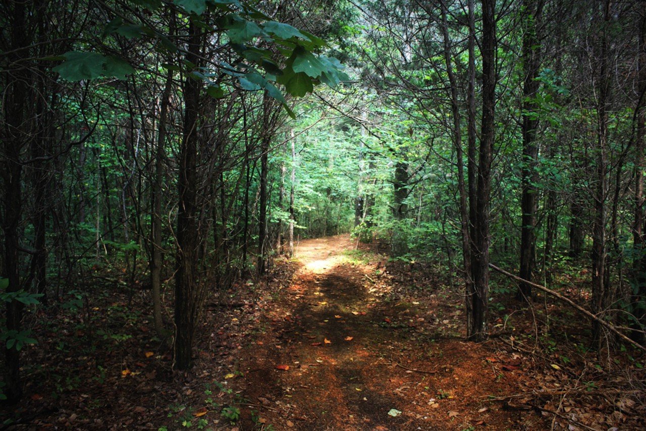
Otter Creek Outdoor Recreation Area
Otter Creek Park: Otter Creek Trail
Old Nature Center, Nature Center Lane, Brandenburg, KYOtter Creek Trail is a four-mile loop with an elevation gain of 603 feet. This trail covers the majority of the area, so expect lots of variety in your hike as you will encounter plenty of heavily-wooded areas, fields, streams, rivers and a few small caves.
13 of 26
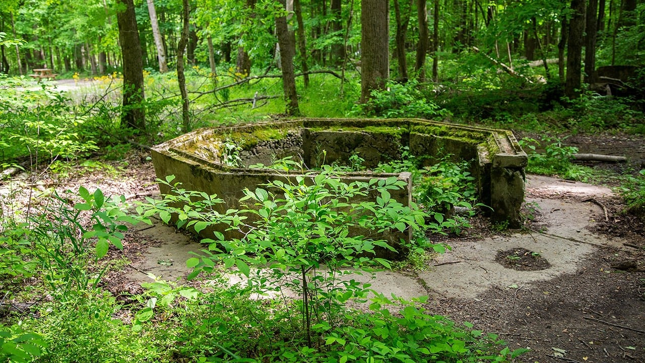
Indiana Destination Development Corporation
Rose Island at Charlestown State Park
12500 Indiana 62, Charlestown, INRose Island is an abandoned amusement park originally opened in 1923, situated on a peninsula called the Devil's Backbone, where Fourteen Mile Creek empties into the Ohio River. The area was called Fern Grove back in the 1880s and ferns still grow abundantly on the river banks in Charlestown State Park. The ruins of the 100-year old amusement park are as eerie as the peninsula itself is beautiful.
14 of 26
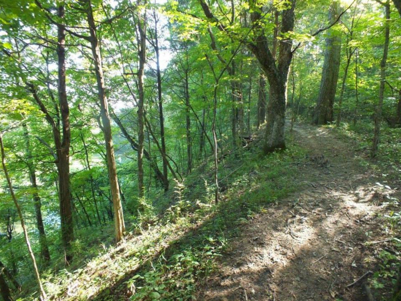
The Parklands of Floyds Fork
Big Beech Trail
Pope Lick Park, 4002 South Pope Lick Rd.You might associate Pope Lick Park with the spooky legend of the Goat Man, but there are actually some very nice daytime trails here that are far from terrifying. Big Beech Trail takes you through a forest that's reportedly hundreds of years old. There are, of course, plenty of beech trees; you can spot them by their gray bark.
15 of 26
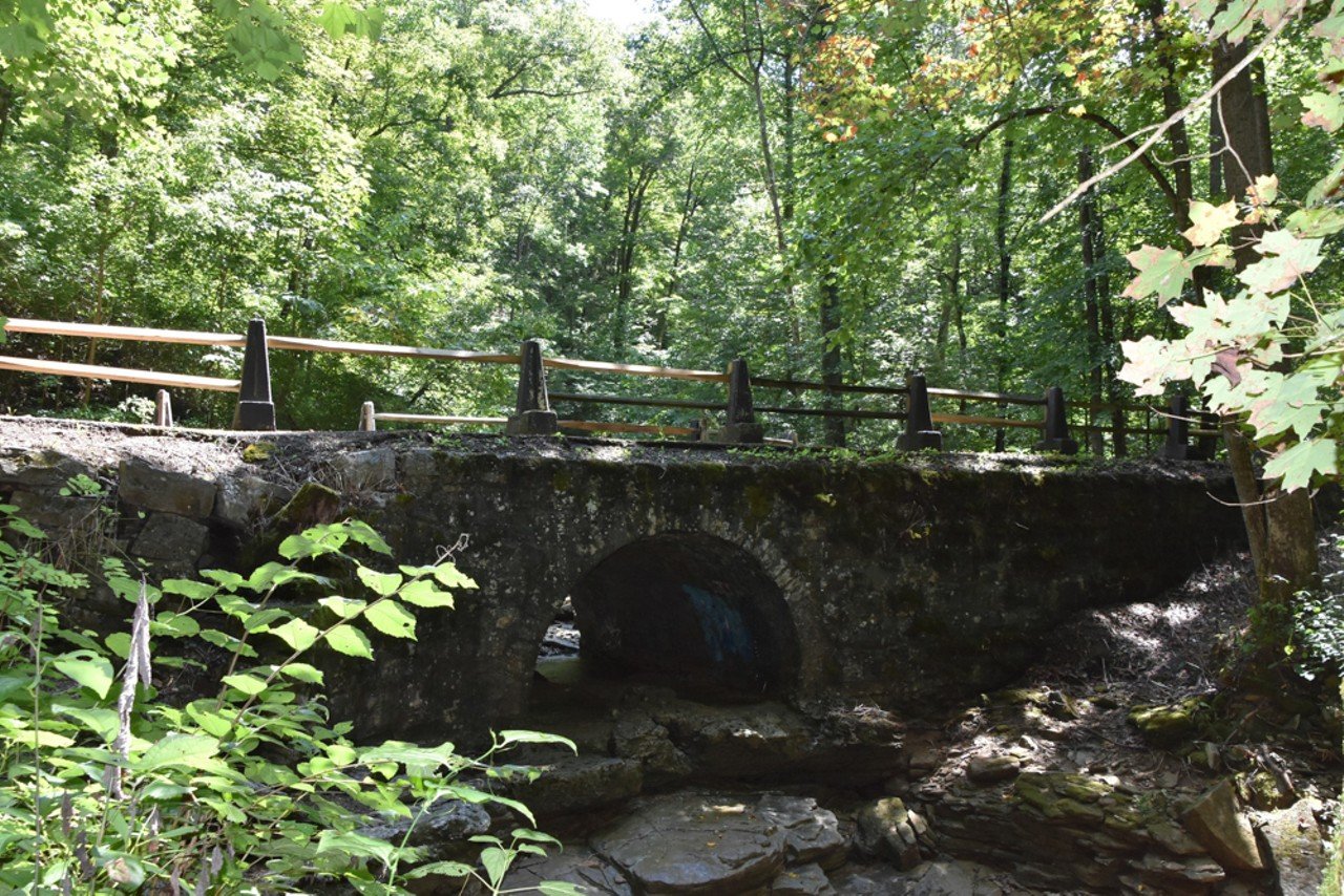
Radcliff Tourism
Bridges To The Past
Louisville Nashville Turnpike, West Point, KYBridges to the Past is a 2.4-mile, out-and-back, paved trail. The trail follows the old L & N Turnpike, which was chartered in 1837 and in use until 1919. Along the trail are three stone bridges that are over 150 years old (hence the name of the trail). Sieboldt Cave is also visible from the trail, but you are not allowed to approach the caves.
16 of 26

Bernheim Forest
Bernheim Arboretum and Research Forest: Cull Hollow Trail
2075 Clermont Rd., Clermont, KYCull Hollow Trail is a 1.2-mile trail that takes you through a rocky hillside and hardwood forest to a waterfall. Surrounding the trail are rocky outcrops and large stones, but the trail is fairly easy, with a gradual incline and an elevation gain of only 265 feet. This trail is known for its frequent deer and turkey sightings.
17 of 26
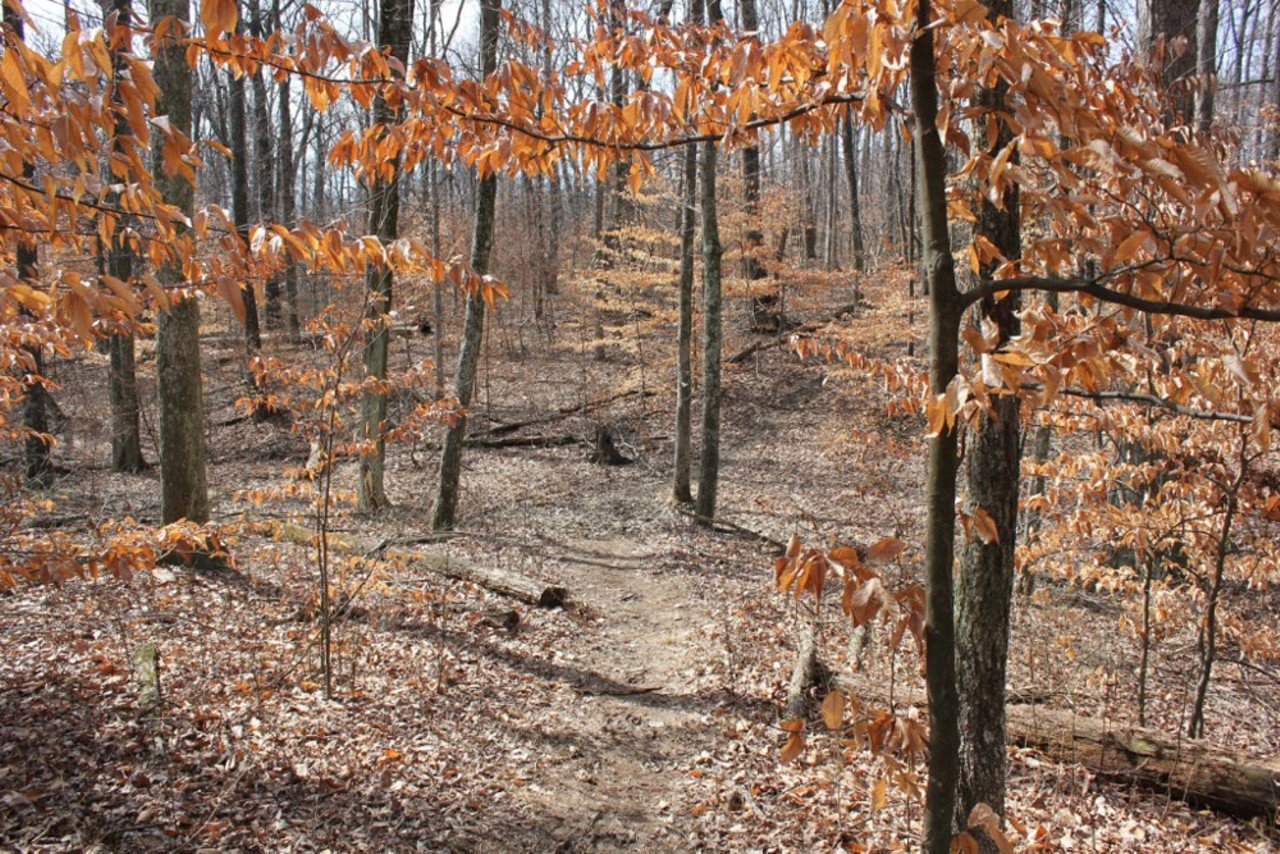
Bernheim Forest
Bernheim Arboretum and Research Forest: Elm Lick Trail
2075 Clermont Rd., Clermont, KYElm Lick Trail is a five-mile loop with an elevation gain of 728 feet. And with elevation gain, you can catch sweeping views. Dense forest, a large field and a river on this trail offer plenty of variety to keep your interest.
18 of 26
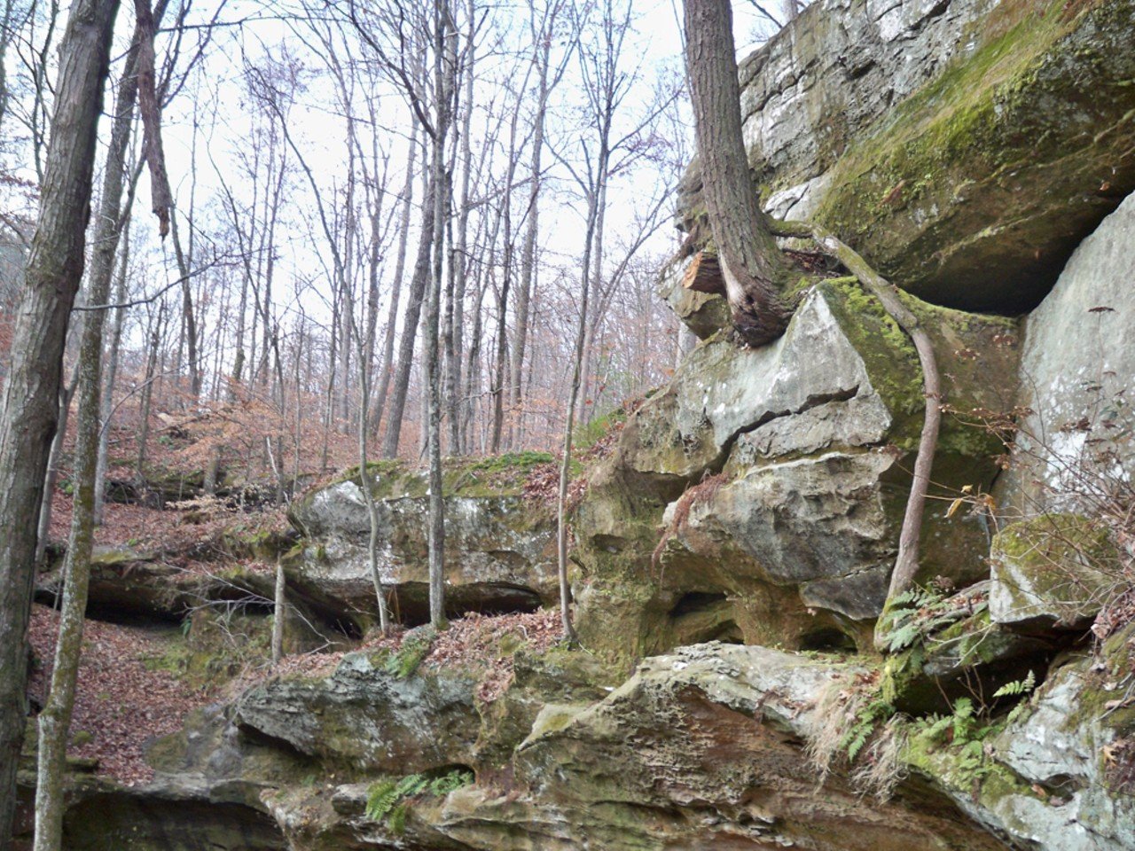
Hoosier National Forest
Hoosier National Forest: Hemlock Cliffs National Scenic Trail
Hemlock Cliffs Scenic Trail, Union Chapel Road, English, INHemlock Cliffs National Scenic Trail is a 1.2-mile loop, and as you probably already guessed from the name, the highlight of this trail is the Hemlock Cliffs. The cliffs are the result of sandstone rock formations which have created a sort of box canyon in the middle of these Indiana woods. A few creeks also run through the area, so depending on water levels, you may also find a few waterfalls on the trail.
19 of 26
Danielle Grady
Mt. St. Francis Loop Trail
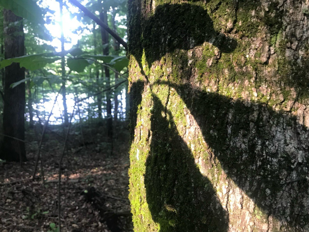
101 St. Anthony Drive, Mt. St. Francis, INThis lovely sanctuary also hosts many hikers and fishers each year. The loop trail is easy and relaxing. Note that professional photography is not allowed at the venue without a paid license.
20 of 26
Page 1 of 2
- Local Louisville
- News
- Things to Do
- Arts & Culture
- Food & Drink
- Music
- Sports
- Louisville in Pictures
- About LEO Weekly
- About Us
- Advertise
- Contact Us
- Support Local Journalism
- Work Here
- Big Lou Holdings, LLC
- Cincinnati CityBeat
- Detroit Metro Times
- Louisville LEO Weekly
- St. Louis Riverfront Times
- Sauce Magazine


